| Upshur Historical Maps |
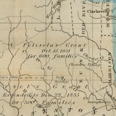
This map represent the area of northeast Texas that would later be carved into counties including Upshur county.
1849 Northeastern Texas Map of northeastern Texas showing newly organized Upshur county. Its neighbors, Camp, Gregg, Marion, and, Wood counties didn't exist in 1849.
1866 Upshur County If you look closely you can see the stagecoach routes on this map
1896 Northeastern Texas
1914 Upshur County All of the railroads that transverse Upshur county are represented in this 1914 map in one form or another.
1921 Upshur County Courtesy of the University of Alabama Map Library
1939 General Highway Map, Upshur County, Gregg County, Texas
1961 General Highway Map, Upshur County, Texas
1981 Big Sandy - Topographic Map (University of Texas Map Collection)
1996 Upshur County "Courtesy of the University of Texas Libraries, The University of Texas at Austin."
Harrison County Historical Maps
Upshur County Texas Index of Landmarks & Vanished Communities